
Understanding San Pedro de Atacama weather
San Pedro de Atacama weather is best approached by separating the village, the highlands and the hours spent outside after dark. The regional climate reference here comes from El Loa, Calama Ad., station 220002, maintained by Chile’s Dirección Meteorológica de Chile. Its 1991 to 2020 normals describe a long historical period, rather than conditions for your arrival date.
The distinction matters when packing and choosing excursions. A mild daytime average at Calama says little about standing outside at El Tatio early in the morning. San Pedro is around 2,400 m, while the geyser field is around 4,300 m and the highland lagoon sector lies above 4,000 m. Use the destination, time of departure and current forecast together. The altitude guide explains why those outings deserve their own planning.
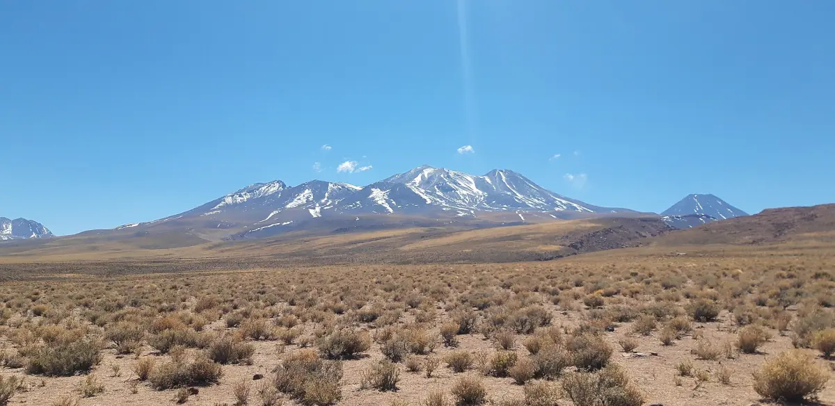
Daytime warmth and cold nights
The monthly averages show a marked separation between daily maximum and minimum temperatures. Pack layers that can be added for an early departure or an evening outdoors, then removed during the day. Treat the minimum column as a mean of daily lows at Calama, rather than a promised temperature at your accommodation.
For a day combining road travel and time outdoors, keep warmer clothing accessible instead of putting everything in a bag left behind. A night observation session also needs a different clothing decision from an afternoon walk. The practical question is how long you expect to remain outside and at which elevation, rather than whether the calendar month is usually described as warm.
Night excursion
This evening activity includes hot drinks for an outing dependent on sky conditions.
Hand-picked tours, booked through Viator. Prices are indicative starting prices in US dollars (as of October 2026). Tap a tour for live availability and the current price in your currency.
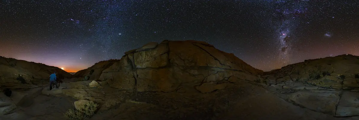
An evening under the Atacama sky
A night observation outing with hot drinks and snacks, considered alongside cloud, moonlight and warm clothing.
Calama monthly climate reference
All rows below come from the DMC station El Loa, Calama Ad., normal period 1991 to 2020. Maximum and minimum are the means of daily highs and lows. Precipitation is the published monthly normal. These are regional reference values, not measurements in San Pedro, at El Tatio or at Miscanti and Miñiques.
| Month | Mean daily maximum °C | Mean daily minimum °C | Precipitation mm |
|---|---|---|---|
| January | 24.8 | 6.8 | 0.4 |
| February | 24.7 | 7.1 | 1.4 |
| March | 24.3 | 6.0 | 0.8 |
| April | 23.6 | 3.7 | 0.2 |
| May | 22.3 | 1.6 | 1.3 |
| June | 21.4 | 0.3 | 0.6 |
| July | 21.1 | −0.4 | 1.0 |
| August | 22.4 | 0.4 | 0.8 |
| September | 23.4 | 1.2 | 0.1 |
| October | 24.3 | 2.3 | 0.0 |
| November | 24.8 | 3.2 | 0.0 |
| December | 25.0 | 4.9 | 0.0 |
A displayed 0.0 mm is a rounded climate normal. Read it as a description of the reference dataset, rather than a promise of a rain-free month. The table is useful for seeing the broad annual pattern; a short-term forecast is the tool for deciding what to wear and whether to change tomorrow’s plan.
Summer rain and highland access
Chile Travel’s guidance dated 10 March 2026 describes moisture arriving in the highlands between December and March, with rain, thunderstorms and possible route closures. The expression altiplanic or Bolivian winter refers to that summer moisture pattern. It does not describe the Southern Hemisphere winter or imply daily rain in the village.
CONAF also describes temporary trail closures caused by sandstorms, rain, snow or thunderstorms. Keep an alternative activity in mind and follow the current access instructions for the destination. Use destination-specific access information to decide whether a road or path is usable. See the highland lagoons guide for the visit organisation that sits alongside weather planning.
Night observation is weather dependent
The astronomical outing featured here includes hot beverages, sweet and savoury snacks, smartphone tripods and an air-conditioned vehicle. A warm drink can make an outdoor evening more comfortable, but clothing and conditions still matter. The activity depends on the sky on the night, so leave room in the itinerary for a change of plan.
Moonlight is a separate factor from cloud. A bright Moon makes faint galaxies and nebulae harder to observe, while the Moon, planets and other bright objects can remain observation targets. Read the stargazing guide to choose an observing experience. For the broader decision about which season suits your priorities, use the best time to visit rather than interpreting one monthly figure as a complete answer.
Questions for planning your visit
Is the table measured in San Pedro?
It is the DMC regional reference for El Loa, Calama Ad., station 220002. The historical period is 1991 to 2020. Conditions at the village and highland destinations need their own forecast.
How should I interpret 0.0 mm?
The value is a rounded monthly normal. It describes the historical reference period and should not be used as a guarantee for an individual day or an entire month.
When can summer rain affect outings?
Chile Travel identifies December to March as the period when highland rain and thunderstorms can affect routes. Plan around current local access information, particularly for highland excursions.